


Welome to Chirripó

The sweeping views from the top of this dramatic peak are stunning. You have to hike a steep 12.4-mile trail that goes 7,218 feet up, but if you can handle the challenging hike, you will be rewarded with a 360-degree view over valleys, rivers, the Pacific Ocean, and the Caribbean Sea. Getting there is half the fun. You’ll pass many peaks and even go through a cloud forest, and paramos, which is an ecosystem only found at high elevations in the tropics of Central and South America, higher than the forest line and lower than the permanent snow line.
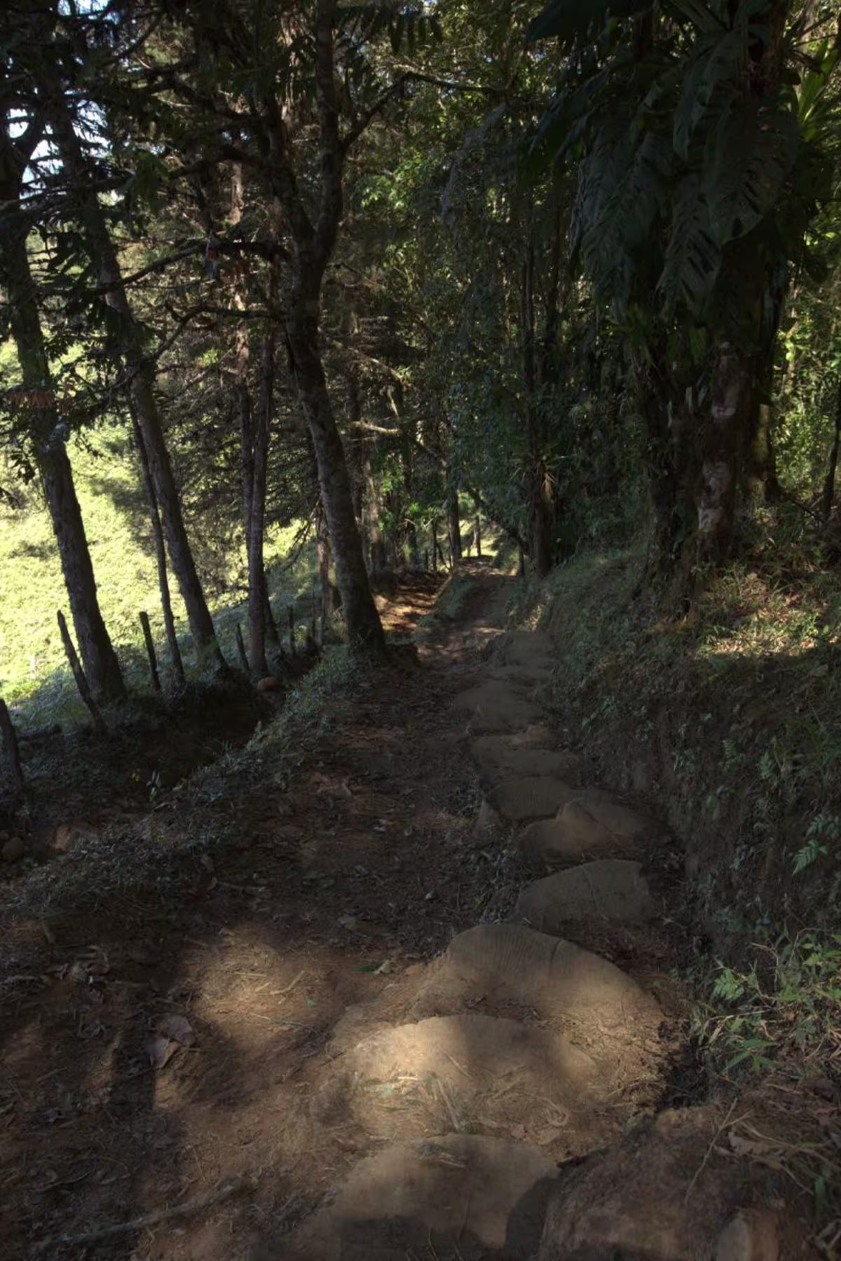
The Peaks of Chirripó
The trailhead starts 0.6 miles from the center of town. It takes 9 hours to reach the summit and an average of 6 hours to make the descent. It’s important to note that the ascending hikers must start before 10 am. Note that the trail begins with a high level of difficulty. It’s rugged and steep from the very beginning. There are signs marking each kilometer. There are bathrooms at a kilometer of 7.5.
After that, you’ll come across three challenging sections: Water Slope, Faithless Mountain, and The Slope of Regret. You’ll see burnt trees from many forest fires. From the Crestones Base Camp, it’s about 3.4 miles further to the top of the summit. Head towards Rabbit Valley and then turn left at the T-intersection toward a narrow saddle and the first view of the summit. The final steep hike takes you to the top, where you can look over valleys and half a dozen lakes that were once glaciers and see both oceans on a clear day.
Best Time to Travel
January to April is considered the dry season, and February and March are the months with the best weather.
Chirripó Weather
It can rain at any time of year, and weather conditions change suddenly because both Caribbean and Pacific weather systems influence the climate.
While hiking near the summit, expect daytime temperatures of 40-60 degrees and nighttime temperatures that can drop below 32 degrees.
Is Chirripó Safe?
Yes. It used to be dangerous to get there over a treacherous stretch of road with steep inclines, dense fog, and heavy rainfall. Because of that, this pass was named “Cerro de la Muerte,” or “Mountain of Death,” however, it’s no longer dangerous to get there. It’s been made travel friendly and has some viewpoints you can stop at to see rugged mountains and the sunset over the Pacific Ocean.
Top Restaurants near Chirripó
Truchero Los Cocolisos
A favorite restaurant because you can catch your trout in the pond.
Robino’s Foodies
A delightfully designed plate featuring Italian, Mexican, and International cuisine.
Batsu Gastropub
The best pub in the area is known for its oversized burgers.
How to Get to Chirripó
This area is in the country's south, near San Gerardo de Rivas. The park is one of the most remote in the country. However, we can arrange a private transfer for you with an English-speaking driver. They’ll take you through Cartago, over Cerro de la Muerte, and San Gerardo de Rivas. It’s 80 miles from the capital. If you plan on driving yourself, just take the Pan-American Highway (towards Cartago).
Note that the road curves South and signs change from Highway 1 to Highway 2, but it’s still the Pan-American Highway; it just goes by various names in different parts. Pass over the Cerro de la Muerte to San Isidro del General. Then head northwest toward San Isidro, going through Rivas to San Gerardo de Rivas. That’s where the hiking trails start.


